


Key Takeaways
- Digital twins powered by AI offer cities advanced tools for emergency response and planning.
- Accessibility of data enables non-specialists in city departments to make informed decisions.
- Cost-effective integration of technology enhances urban safety and mobility initiatives.
Advancing Urban Resilience through Data
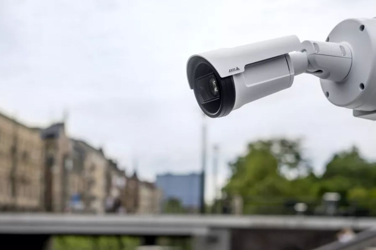
Cities are increasingly utilizing data to enhance public safety, particularly in the context of rising natural disasters. The integration of video data and AI into digital twins—the virtual replicas of urban environments—has emerged as a critical asset for emergency response, especially in Europe, with similar trends expected in the United States.
Digital twins, which draw data from cameras and sensors, allow city officials to simulate crises and evaluate evacuation plans in real time. For instance, during a disaster like flooding or wildfires, these models can identify bottlenecks in evacuation routes, facilitating safer and more efficient relocations.
While human oversight remains essential, digital twins provide a strategic framework for both pre-planning and real-time decision-making. These tools also play a key role in managing large public events, allowing authorities to optimize the movement and safety of crowds during sudden emergencies, such as storms.
Adoption of this technology is gradual, requiring cities to become familiar with sensor data and integrate it into their operations. By starting with simpler applications, such as live video overlays, cities can develop more advanced simulations and predictive models as their comfort with the technology increases. This step-by-step approach builds a solid foundation for scalable solutions tailored to evolving urban needs.
Another significant factor in the effectiveness of digital twins is the accessibility of data. Not every city department has dedicated analysts, making it vital that non-specialist staff can utilize data effectively. By merging live video feeds with digital twins, insights become more approachable, allowing frontline staff to make informed decisions without needing technical expertise.
Budget constraints can hinder innovation, but technology providers are adopting open standards and cost-effective strategies. This enables cities of varying sizes to optimize their use of camera and sensory data without excessive financial investments. The technological landscape is fostering collaboration between urban mobility and public safety efforts, leading to better traffic management and infrastructure planning.
Ultimately, the integration of IoT cameras, AI, and digital twins can transform urban public safety strategies, allowing cities to predict, prevent accidents, and manage resources more effectively. However, this evolution requires education, trust, and inter-departmental collaboration to maximize its benefits. The overarching goal is to empower cities with technology that enhances safety, mobility, and overall livability, paving the way for smarter, more resilient urban environments.
The content above is a summary. For more details, see the source article.


