


Key Takeaways
- Severe thunderstorms are expected across Iowa tonight, with a significant risk for damaging winds, large hail, and tornadoes.
- The most dangerous driving conditions will occur from 9 PM to 3 AM CDT, particularly along I-80 and I-35.
- A 50 percent chance of rainfall exceeding 2 inches raises concerns for flash flooding, especially in northern Iowa.
Severe Thunderstorm Forecast
A complex of strong to severe thunderstorms is predicted to move across Iowa tonight, placing much of the state under an Enhanced (Level 3 of 5) risk for damaging weather. The forecast indicates that this severe weather will begin late this afternoon on May 15, 2026, and persist into the early hours of Saturday morning.
The Storm Prediction Center has highlighted the potential for damaging straight-line winds, large hail, and possible tornadoes along the warm side of a nearly stationary front, which is laden with moisture from the Gulf. A quasi-linear convective system (QLCS) is expected to organize after sunset, moving from west to east across Interstate 80.
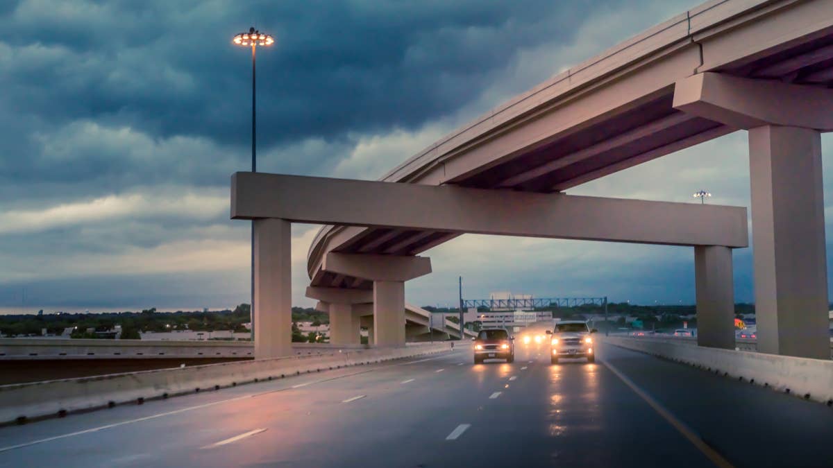
Driving Conditions and Risk
The most hazardous driving conditions are anticipated late this evening into the predawn hours, specifically between 9 PM and 3 AM CDT. Key roadways impacted include I-80, which runs across the entire state; major cities such as Council Bluffs, Des Moines, Iowa City, and Davenport will be in the direct path of the storms. Drivers using I-35 through the Des Moines metro and I-380 between Cedar Rapids and Iowa City should be particularly cautious.
Hydroplaning poses a significant risk as heavy rainfall is expected, especially in northern Iowa, which may lead to urban flash flooding. Drivers are urged to check live road conditions on 511ia.org.
Safety Recommendations for Drivers
In preparation for the storm, it is vital for drivers to ensure their vehicles are equipped for severe weather. This includes checking tire tread depth, which should be at least 4/32 inch, and inflation levels to prevent hydroplaning. During sudden downpours, drivers should slow down below posted speed limits, maintain a greater following distance, and use headlights whenever windshield wipers are in operation, as mandated by Iowa law.
If a tornado warning is issued while driving, it is advisable to seek shelter in a sturdy building or lower ground rather than an overpass.
Ongoing Weather Concerns
The Enhanced risk of severe weather is expected to remain in place throughout tonight and into Saturday morning. Looking forward, the SPC has indicated another potential round of severe storms may affect the northern Plains from Saturday night into Sunday. The Weather Prediction Center has also issued outlooks highlighting the likelihood of multiple instances of heavy rainfall and severe storms across the region, driven by the same stationary front pattern. Both NWS Des Moines and NWS Quad Cities have active alerts in effect, and updates will be provided as conditions change.
The content above is a summary. For more details, see the source article.


