


Key Takeaways
- Blizzard warnings are in effect for over 30 million residents along the I-95 corridor, including New York City, Long Island, New Jersey, and Connecticut.
- Travel conditions will be extremely treacherous, with expected snowfall rates of 1-3 inches per hour and winds gusting up to 70 mph.
- Residents are advised to prepare their vehicles and stay off the roads due to potential life-threatening conditions.
Blizzard Conditions Expected in the I-95 Corridor
A blizzard warning issued by the National Weather Service (NWS) is affecting over 30 million residents along the I-95 corridor, which includes New York City, Long Island, New Jersey, and Connecticut. This storm is projected to bring severe weather conditions that may lead to near-zero visibility, grounded flights, and dangerous highway conditions.
Residents can expect heavy snowfall of 1-3 inches per hour accompanied by sustained winds of up to 50 mph and gusts reaching 70 mph. These factors could turn roadways into virtually indistinguishable paths, severely compromising travel safety. As the storm intensifies, local authorities are likely to implement travel bans for non-essential trips, advising residents to remain off the roads beginning Sunday afternoon when conditions are predicted to “bomb out.”
A nor’easter transitions to a bomb cyclone when its central air pressure falls rapidly, resulting in increased wind speeds and snowfall rates. This phenomenon often leads to blizzard conditions with whiteout visibility occurring within a short timeframe.
Vehicle Preparations Ahead of the Storm
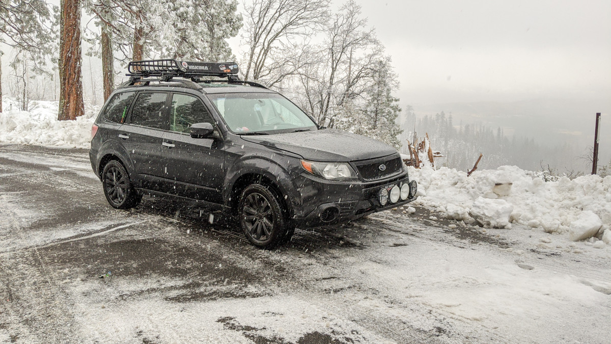
The impending storm poses substantial risks not only to drivers but also to their vehicles. Heavy, wet snow can compact in the wheel wells, potentially impairing steering and causing friction against tires. Moreover, snow accumulation on brake components may create mechanical issues. Frequent freeze-thaw cycles can accelerate rust formation on exposed undercarriage elements. Cold temperatures will also negatively affect battery performance, particularly if the battery exceeds three years of age.
To mitigate these risks, residents are urged to take preventive measures before the storm strikes. Filling gas tanks now is recommended due to anticipated high demand, which may result in fuel shortages at local stations. If feasible, vehicles should be moved to garages, and any unsecured cargo should be removed to prevent it from becoming a projectile in strong winds.
In addition, an emergency kit should be prepared, including items like an ice scraper, jumper cables, blankets, and sand for improved traction if stuck. It’s essential to check windshield wipers and add freeze-resistant washer fluid before temperatures drop dramatically. Given the unpredictable nature of this storm, continuous monitoring of local weather updates and NWS advisories is strongly advised before venturing outside this weekend.
The content above is a summary. For more details, see the source article.


